Build a want-to-go list around interests and regions of the map
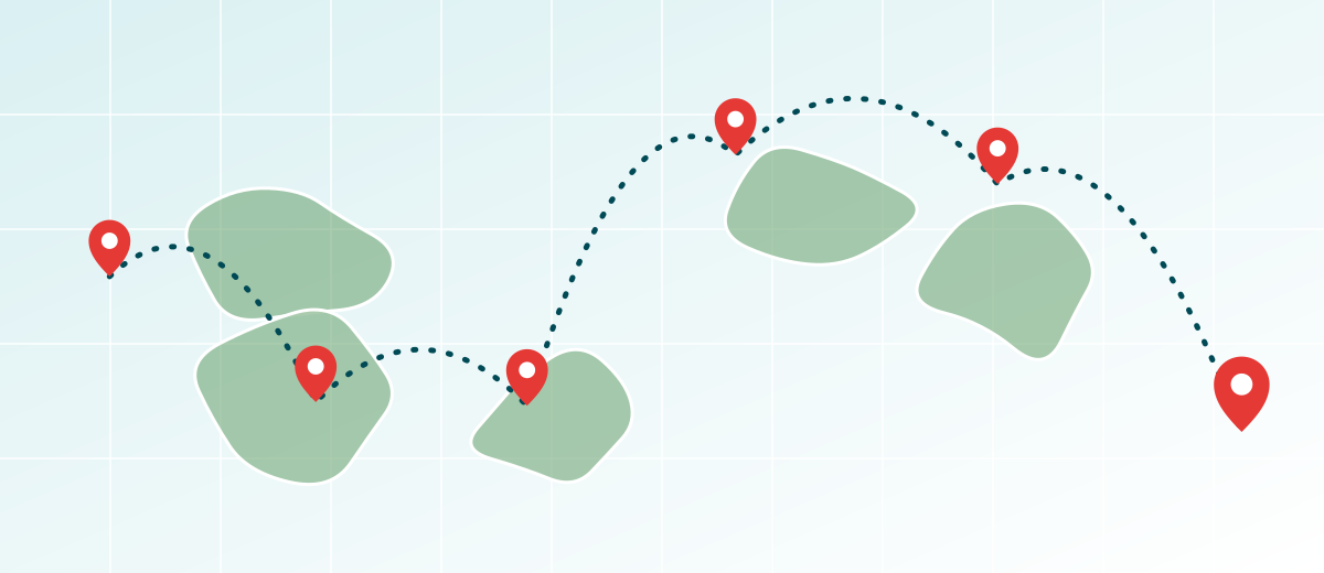
A list of places you want to see tends to grow in one direction: toward whatever you read about last. After a year it is a pile with no order, and you cannot tell whether it leans toward mountains, old cities or coastlines, or whether half the world is missing from it.
This method adds two labels to every item, an interest and a place in the world, and turns the list into a grid you can scan. It stays at the level of curiosity: what draws you, and where it sits on the map. Planning an actual trip is a separate task, and nothing here involves dates or logistics.
Capture first, sort second
Begin with a plain brain dump. Write down places as they come to mind, whether a city, a national park, a river, a mountain range or a whole language region. Do not sort yet. Then give every entry the same small set of fields, so that the list can later be filtered by any of them.
- Place: the name, as specific as you can make it
- Country code: the two-letter ISO 3166-1 alpha-2 code, such as NZ or PE
- Interest tag: one word from your own short list of interests
- Region: one sub-region from a single scheme, chosen in advance
- Reason: one sentence on why the place draws you
- Source: the book, atlas page or map where you first met the place
The reason field is the filter that keeps the list honest. If you cannot write a sentence about why a place appeals to you, the entry is probably a passing idea, and you can drop it without regret. The source field helps later, when you want to remember what made you add it.
Tag every place by interest
Choose six to eight interest tags that match what you actually enjoy, and resist the urge to invent a tag for every entry. Landscape interests connect neatly to geography. If you are drawn to volcanic scenery, the guide to volcanoes and the Ring of Fire shows where such places cluster. If deserts fascinate you, see the guide to deserts of the world, and for forests, grasslands and tundra, the guide to biomes.
| Interest tag | What to look for on a map | Related topic |
|---|---|---|
| Volcanic landscapes | Chains of volcanoes along plate boundaries | Ring of Fire |
| Deserts | Hot, cold and coastal dry regions | Deserts of the world |
| Forests and grasslands | Large biomes shaped by climate | Biomes of the world |
| Island groups | Archipelagos and island countries | Island nations |
| Mountain ranges | Long belts of high ground | How mountain ranges form |
| Cultural heritage | Sites on a heritage list | UNESCO World Heritage List |
The UNESCO World Heritage List is a handy source of ideas. It sorts its properties into cultural, natural and mixed sites, which gives you three ready-made interest tags. Use it for inspiration, then write your own reason for each place you add, so the list reflects your curiosity and not a catalog's.
Tag every place by geography
For the region field, use one published scheme and stick to it. The United Nations statistics division's M49 standard divides the world into sub-regions such as Northern Africa, Sub-Saharan Africa, Latin America and the Caribbean, Northern America, Central Asia, Eastern Asia, South-eastern Asia, Southern Asia, Western Asia, four sub-regions of Europe and four groups in Oceania. The guide to the UN geoscheme explains how it works. M49 states that its groupings are for statistical convenience and imply nothing about political affiliation.
Regions are human conventions. The National Geography Standards in the United States put it directly, listing as a standard that people create regions to interpret Earth's complexity. Other schemes exist, and they sometimes disagree; the guide to the Middle East shows a region whose edges vary by source. That is why one scheme, applied the same way to every entry, matters more than which one you choose.
Keep the list alive and apart from visited places
A want-to-go list is a map of curiosity, not an obligation. Review it once a year. Remove entries whose reason no longer rings true, merge duplicates and split items that are too broad, such as a whole continent. When you finally go somewhere, move the entry into your travel journal of places and delete it from the list.
- Every entry still has a reason you believe
- Every entry has an interest tag, a country code and a region from the same scheme
- Entries that are too broad have been split into specific places
- Places you have been to are moved to the journal
- The grid has been read for gaps, and any gap that interests you has a new entry
On a map, give wish-list places a look that cannot be mistaken for visited ones, for example an outline instead of a fill; the guide to choosing a travel map style shows how. The travel map editor marks countries, and any tool works for this as long as the two lists stay visually separate. When a country on your list is big, you can also split it into states or provinces, the subject of the guide to visiting states and provinces.
Common mistakes with want-to-go lists
- Mixing visited and wished-for places
One list with both makes the map overstate your progress. Keep two lists and give them different looks.
- Turning the list into a trip plan too early
The list holds interests and reasons. Planning is a different job with different information, and mixing the two makes the list heavy and hard to update.
- Adding entries that are too broad
'Asia' or 'the Pacific' is not a place. Name a specific island, range, river or city so the entry can be located, tagged and moved to the journal.
- Never pruning
A list that only grows becomes a source of guilt. Review it yearly and delete entries whose reason has faded.
- Switching region schemes between entries
Using one scheme for some places and another for the rest makes the grid unreliable. Choose one scheme at the start and keep it.
Frequently asked questions
How many places should a want-to-go list hold?
There is no right number. A practical limit is a list short enough to review in a single sitting. If the review feels like a chore, split the list by interest or archive the oldest entries.
Should I rank the places?
A simple pull score from 1 to 3 works better than a full ranking. A full ranking changes with every new idea and takes constant upkeep. A pull score only needs updating when your interest changes.
Which region scheme should I use?
Any published scheme works if you stay with it. The UN M49 sub-regions are a neutral, widely used option, and each country belongs to exactly one sub-region. Some popular region names, such as the Middle East, do not appear in M49, which uses Western Asia instead.
Can I use the UNESCO World Heritage List to build my list?
Yes, as a source of ideas. The list groups properties as cultural, natural or mixed. Add a place only if you can write your own reason for it, and note the source so you remember where the idea came from.
Where should I keep the list?
Keep it next to your journal, in the same spreadsheet or notebook, with its own page or tab. That makes it easy to move an entry across when you go there, and it keeps the two lists consistent.
Sources
- Standard country or area codes for statistical use (M49) United Nations Statistics Division
- National Geography Standards Index National Geographic Education
- World Heritage List UNESCO World Heritage Centre
- ISO 3166: international standard for country codes and subdivisions ISO Help Centre