Topic
Relief, climate and landscapes
The shape of the land and the movement of air and water explain a surprising share of what a map shows: where rivers run, where deserts sit, why one coast is mild and another harsh.
These guides cover mountains and volcanoes, rivers and basins, deserts, biomes, ocean currents, climate zones and landforms, along with time zones, which are a human layer laid over the physical planet. Each one connects what you see on the ground to what you can read on a map.
Articles in Relief, climate and landscapes
 What lifts a mountain range? Plates, folds, faults and volcanoesMountain ranges follow plate boundaries. Learn how collisions, subduction and stretching raise them, and why old ranges such as the Appalachians are lower.
 What is a drainage basin? Divides, tributaries and the river length debateA river is the visible trunk of a drainage basin. See how divides, tributaries and outlets fit together, and why sources disagree on river length.
 Is every desert hot and sandy? Desert types from the Sahara to AntarcticaA desert is defined by how little precipitation it gets. See the main desert types, why each place is dry, and why Antarctica counts as a desert.
 What is a biome? Forests, grasslands, tundra and the climate behind themBiome counts differ by system: NASA lists seven, the WWF ecoregion map 14. See how climate sorts forests, grasslands and tundra, and how to read a biome map.
 How do ocean currents shape climate? Gyres, the Gulf Stream and upwellingGyres carry heat across oceans, the Gulf Stream warms western Europe, and cold upwelling currents cool coasts. Learn how to read these patterns on a map.
 Why does the date change in mid-ocean? Time zones, UTC and the date lineTime zones are offsets from UTC set by law, not just strips of longitude. See the half-hour zones, the date line and a worked example across the Pacific.
 Reading Köppen climate codes: what Af, BWh, Cfb and Dfc meanKöppen codes pack temperature and rainfall into two or three letters. Learn the five groups, the sub-letters, and how different map versions compare.
 Why do volcanoes cluster around the Pacific? Reading the Ring of FireThe Ring of Fire is a Pacific horseshoe of volcanoes at subduction zones. Learn the volcano shapes, the hotspots beyond the ring, and the map clues to spot them.
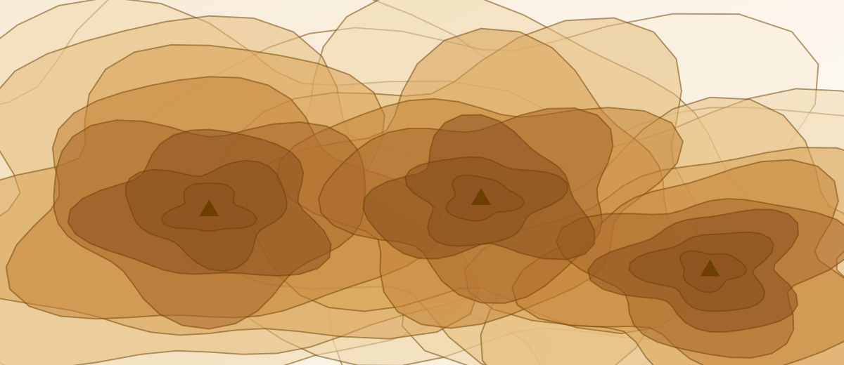 Flat, high or low? Telling plains, plateaus and valleys apart on a mapPlains are broad and flat, plateaus are flat but raised, valleys are cut low. See how each forms and how contour lines on a map show them.
Explore other topics
- Understanding mapsProjections, scale, coordinates and how to read an atlas without guessing.9 articles
- Continents and regionsHow the world is divided into continents, oceans and regions, and why the lines move.9 articles
- Countries and territoriesHow many countries exist, why the count changes, and what borders, enclaves and capitals mean.9 articles
- Recording your travelsWays to keep a clear record of the places you have been, and share it.9 articles