Why flat maps distort the world, and what each projection keeps true
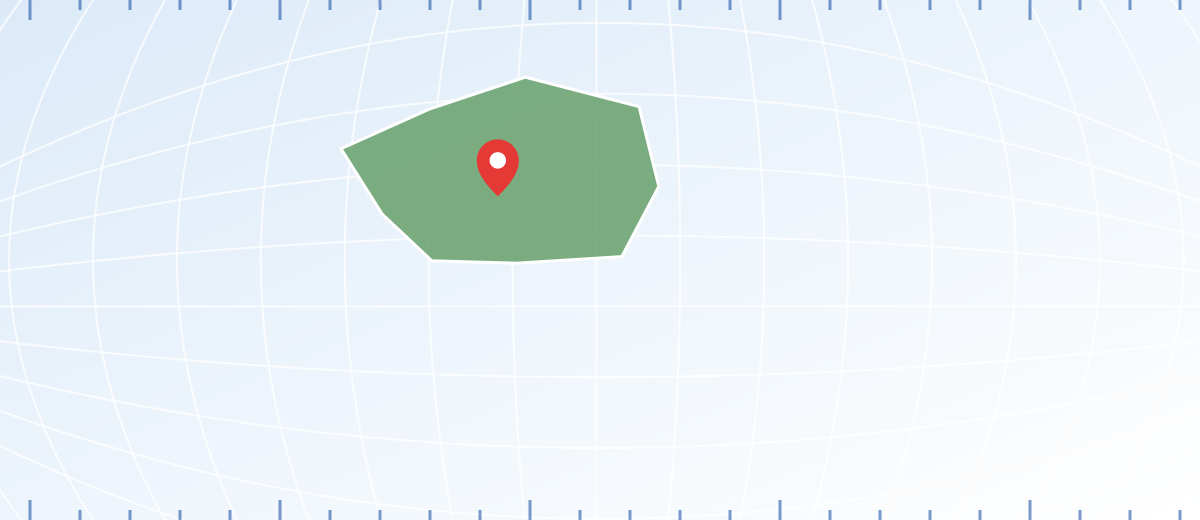
On a Mercator world map, Greenland looks larger than South America. The U.S. Geological Survey's projection manual points out that it is only about one-eighth of South America's size. The coastlines are not drawn wrongly. The distortion comes from the way the globe was flattened.
A map projection is the set of rules that moves each point from the curved Earth onto a flat sheet. No set of rules can do that without stretching, squeezing or cutting something. So the useful question is not “which projection is correct?” but “what does this one keep, and what does it give up?” The answer decides whether a map suits a sailor, a teacher or someone shading the countries they have visited.
What a projection can keep and what it must give up
Four properties are at stake: area, shape, distance and direction. A projection can protect one or two of them across the whole map. It cannot protect all four.
An equal-area map shows every region at its correct relative size, so a coin placed anywhere on the map covers the same amount of real ground. The USGS manual adds the catch: shapes, angles and scale must be distorted on most parts of such a map.
A conformal map keeps local angles correct, so small features keep their shape and meridians cross parallels at right angles, as they do on the Earth. Sizes, however, are enlarged or reduced across the map. The same manual states plainly that no map can be both equal-area and conformal.
Projections are also grouped by the surface used to build them. Picture a cylinder wrapped around the globe, a cone set over it, or a flat plane touching it. The USGS manual describes all three as variations of one idea, and each family spreads its distortion differently: a cylinder keeps the familiar rectangular grid, while a plane gives a circular view centered on one point.
Scale is never perfect either. According to the manual, no projection shows scale correctly everywhere, though there are usually lines along which it stays true. That is why the scale printed on a map is exact only in certain places on a world map.
Five world projections side by side
These five appear most often on world maps. The table gives the core facts, and the notes after it describe what you will notice on the page.
| Projection | Origin | Preserves | Distorts |
|---|---|---|---|
| Mercator | Gerardus Mercator, 1569 | Local angles (conformal); lines of constant compass bearing are straight | Area, more and more toward the poles; the poles cannot be shown |
| Gall-Peters | James Gall, 1855; Arno Peters, 1967 | Area (equal-area) | Shape: tall and narrow in the tropics, flat and wide near the poles |
| Robinson | Arthur H. Robinson, 1963 | Neither area nor angles exactly; a balanced look | Low near the center and the Equator, considerable near the poles |
| Winkel tripel | Oswald Winkel, 1921 | Neither exactly; averages two projections to keep errors moderate | Moderate, strongest near the outer edges at high latitudes |
| Equal Earth | Šavrič, Patterson and Jenny, 2018 | Area (equal-area) | Shape, as on every equal-area map |
Mercator was designed for sailors. Its parallels are spaced farther apart toward the poles so that angles stay correct, which turns a route of constant compass direction into a straight line. That route is usually longer than the shortest path on a globe, so a straight line on a Mercator map is not a shortest-distance line.
Gall-Peters is a cylindrical equal-area projection with its true-scale parallels near 45° north and south. The USGS album of projections notes that the 1967 Peters version is essentially identical to Gall's earlier design. Robinson was built from a table of coordinates chosen so that the world “looks right,” and Winkel tripel averages the coordinates of two other projections. Neither is equal-area or conformal.
Equal Earth was published online in August 2018. Its authors describe it as similar to Robinson in appearance but equal-area, with simple equations that are quick to compute.
How far the Mercator map stretches at each latitude
On a Mercator map, the scale at any latitude equals the scale at the Equator multiplied by the secant of that latitude, which is 1 divided by its cosine. The USGS manual notes that the spacing of the parallels is proportional to this secant. The stretch applies in both directions, so area grows with the square of the secant.
| Latitude | Linear scale | Area factor |
|---|---|---|
| 0° | 1.00 | 1.0 |
| 30° | 1.15 | 1.3 |
| 45° | 1.41 | 2.0 |
| 60° | 2.00 | 4.0 |
| 70° | 2.92 | 8.5 |
| 80° | 5.76 | 33.2 |
How to choose a projection for the question you are asking
Start from the task, not from the look of the map. A projection that suits one job can mislead on another.
- Do you need to compare the sizes of regions? Choose an equal-area projection such as Equal Earth or Gall-Peters.
- Do you need correct local shapes and angles, as on a city or regional map? Choose a conformal projection. The USGS manual says nearly all large-scale maps of mapping agencies are prepared this way.
- Will someone steer by a constant compass bearing? Mercator was built for this.
- Is it a general wall map or atlas page? A compromise such as Robinson or Winkel tripel gives a balanced look.
- Does the map name its projection? Look in the margin or the legend before you trust any measurement.
The same logic applies when you choose a style for your travel map: if you shade the countries you have visited, an equal-area base keeps each country's visual weight in proportion. Coordinates work the same way on every projection, as explained in latitude and longitude.
Common mistakes with map projections
- Reading sizes straight off a Mercator map
Area inflates with latitude, so Greenland, Russia and Canada look far bigger than they are next to equatorial countries. Use an equal-area map, or the table above, when sizes matter.
- Calling one projection “wrong”
Every flat map distorts something. Mercator is poor for comparing areas and excellent for constant-bearing routes. Judge a projection by the job it was built for.
- Measuring distance with a ruler on a world map
Scale changes across the sheet. Over long distances, use coordinates and a great-circle calculation, or a map centered on your starting point.
- Expecting equal-area maps to keep shapes
Equal-area and conformal are mutually exclusive. Gall-Peters and Equal Earth give correct sizes but bend shapes.
- Treating a straight line as the shortest route
On Mercator a straight line keeps a constant bearing, which is usually longer than the great-circle path.
Frequently asked questions
Which map projection is the most accurate?
None is accurate in every way. Equal-area projections keep sizes, conformal ones keep local angles, and compromise projections spread the errors. The most accurate choice is the one that protects the property your task depends on.
Why does Greenland look so large on some maps?
Mercator stretches distances and areas by a factor that grows with latitude. Greenland lies at high latitudes, so it is enlarged strongly. The USGS manual notes it is only about one-eighth of South America's size.
Is the Robinson projection equal-area?
No. The USGS album classifies it as neither conformal nor equal-area. It is a compromise with low distortion near the center and the Equator and considerable distortion near the poles.
Can a map be both equal-area and conformal?
No. The USGS projection manual states that no map can be both. Keeping every area correct forces shapes to bend, and keeping every local angle correct forces areas to change.
What is the Equal Earth projection?
It is an equal-area world projection published online in 2018 by Bojan Šavrič, Tom Patterson and Bernhard Jenny. It resembles the Robinson projection in outline, but areas are shown in true proportion.
Sources
- Map Projections: A Working Manual (Professional Paper 1395) U.S. Geological Survey
- An Album of Map Projections (Professional Paper 1453) U.S. Geological Survey
- The Equal Earth Projection: Distortion Characteristics, Adoption, and (Social) Media Impact Abstracts of the International Cartographic Association